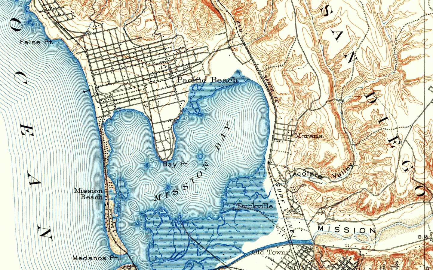
The art of cartography and map-making may be a little on the wane in an age of sat-nav and GPS and we here at The Coolector lament its loss more than a little when we encounter great maps, superbly presented, such as these from San Diego based print company, Wallegend.
It isn’t just us who miss old school maps, however, as Wallegend have an equally as deep love of maps as we here at Coolector HQ and when they stumbled across a set of mid-century topographic maps that the US government has been producing since the 1800s, they knew it was too good an opportunity to be miss so they set about reintroducing them to the general public and, with that, Wallegend was born.
The prints that they produce are scans of the originals carried out on top of the range scanners and each of the original prints are around 40-100 years old. Keeping many of the imperfections of the originals, these Wallegend prints are positively bustling with character and have been enhanced where they need enhancing to create a highly visually impressive print for any room in the home. Check them out below:


Offering cities from all over the United States, you are sure to find one that ticks your boxes and you’ll find it impossible not to be in awe of the art of map-making after you take a look at the painstaking detail and work that has gone into their creation.
Price: $65+
Available: Wallegend
- Silent Sanctuary: The Heimplanet Cave XL Tent in Neo Black – Embracing Stillness in the Wild - April 4, 2025
- Sculpted Speed: The ASICS x BANDIT NOVABLAST 5 Capsule Collection – Where Art Meets the Urban Run - April 4, 2025
- Electrified Icon: The ICON 4×4 EV Bronco – For When Your Nostalgia Needs a Jolt - April 4, 2025


